

Springtime Start Set for Bel Air Dam Removal

PITTSFIELD, Mass. — The Bel Air Dam removal won't be an easy process but state officials promise it will be worth it.
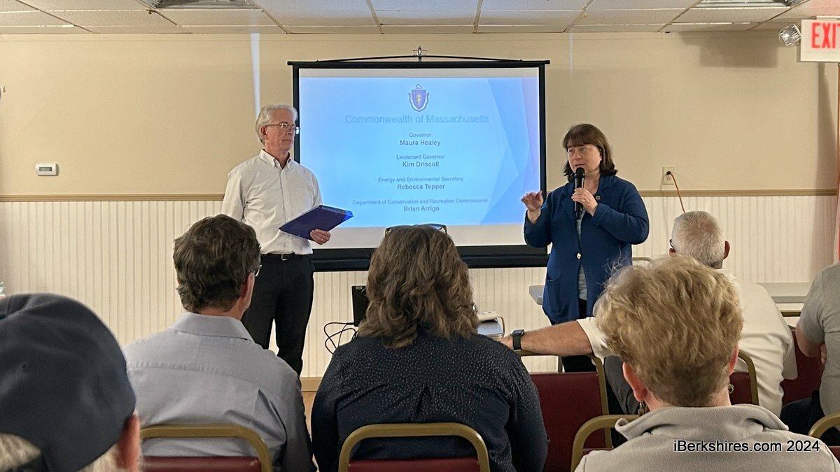
About 50 people gathered at the Polish Falcon Club on Wednesday to hear details about the $20 million endeavor funded by the American Rescue Plan Act. Construction is slated to begin in the spring of 2025 and conclude at the end of 2026.
"What's about to happen with the Bel Air Dam is a big deal," state Rep. Tricia Farley Bouvier said. "It's going to be disruptive and our community is going to be better off in the end for it but it's going to be hard."
She pointed out that some various rules and regulations need to be followed in this project but her message to the state is that they must be good neighbors.
"It's not just following the letter of the law, it's also how do we make this thing work?"
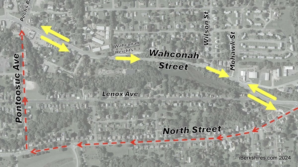
During construction, one lane of Wahconah Street will be shut down; northbound traffic will be able to pass down Wahconah Street but southbound traffic will be diverted south on North Street and west on Pontoosuc Avenue.
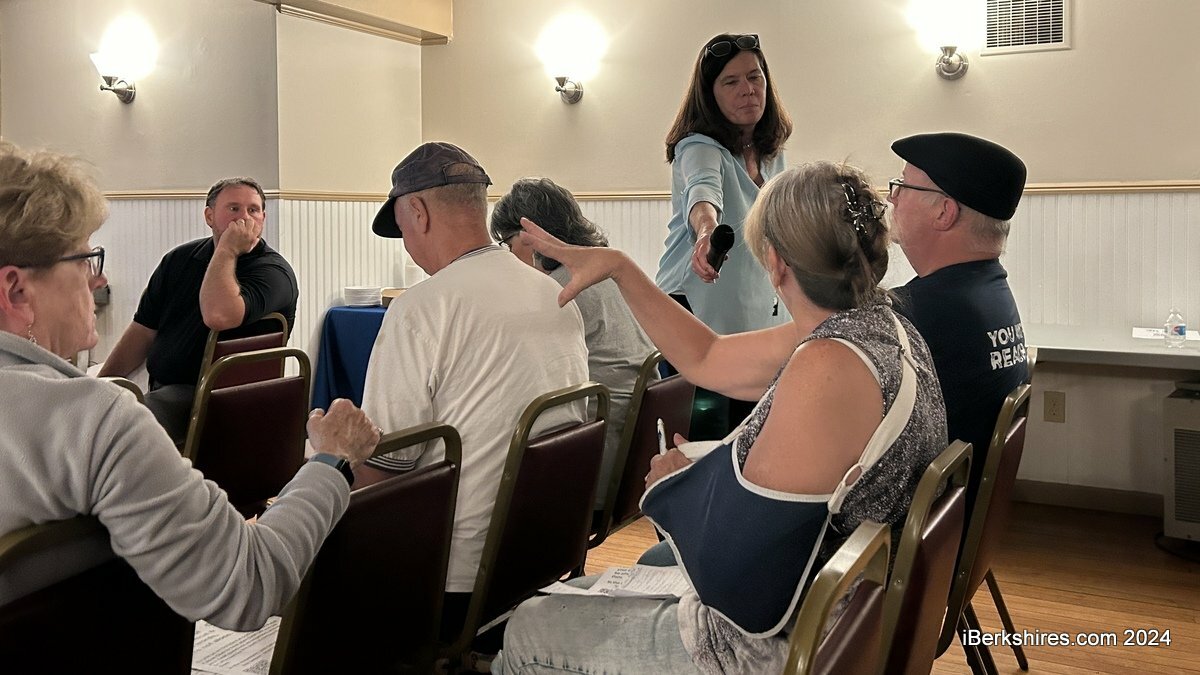
A Lenox Avenue resident worried that her street would become a bypass. Parks, Open Space, and Natural Resources Manager James McGrath, who clarified he is also a resident of Lenox Avenue, said the city will enact mitigation measures to avoid that.
"I think the city is committed to make certain that the detour route is North Street to Pontoosuc and that Lenox Ave is a local neighborhood road," he said.
This setup won't impact fire response from the station on Peck's Road but school bus routes will be modified to run northbound on Wahconah Street through construction while maintaining bus stop locations.
The sidewalk on the east side of Wahconah Street will be closed during construction and there will be a protected pedestrian walkway on the west side with rectangular rapid flashing beacons marking pedestrian detours. Temporary crosswalks will be located at Wahconah Heights and at Mohawk Street.
The 26.5 by 200-foot structure was built in 1832 and used to generate power for a woolen mill into the 1920s. The city took it by eminent domain because the owner is deceased.
Last year, $20 million in ARPA dollars were allocated to remove the deteriorating, potentially deadly dam on Wahconah Street. It has been an area of concern for over a decade, with the city and the state Department of Conservation and Recreation conducting inspections, maintenance, and repairs. In 2020, it was identified as a high-priority project.
It is one of six included in the pilot abandoned dams program.
"The dam is upstream of several businesses, residents, and roads and its failure could have consequences so it has a high hazard dam classification," Project Manager Jennifer Doyle-Breen explained.
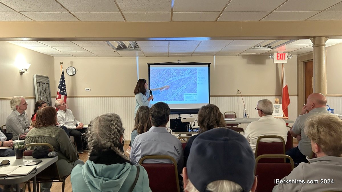
Held by the state Department of Conservation and Recreation, the meeting covered the scope of work, emergency action plan, proposed conditions after the removal, and construction impact and mitigation.
When the project was given an order of conditions from the Conservation Commission last week, community members expressed concern about contaminated sediments that will be capped on-site.
Testing over the last five years has identified accumulated sediment with exceedances of chromium, arsenic, lead, and EPHs (extractable petroleum hydrocarbons). More than 35,000 cubic yards of contaminated sediment will be removed and disposed of out-of-state and the remaining 30,000 cubic yards will be under a geocell cap.
The project team clarified that there were no PCBs, or polychlorinated biphenyls, found.
One resident speculated that $20 million is a large budget and asked why they aren't looking to find the source of the contaminants. Farley-Bouvier followed up by asking if the problem would be ongoing and if the project area could be contaminated again.
It was admitted that the team doesn't have that answer, as DCR is charged with the ecological restoration and managing any materials on site. The information is shared with the state Department of Environmental Protection, which also conducts site investigations.
"I think what we all have to do in government, all the people that represent you, is keep an eye on this particular question," Farley-Bouvier said.
Because the sediment is being disrupted, there will be real-time air monitoring during work hours, periodic handheld observational air monitoring, and onsite meteorological monitoring. This will be done at four fixed air monitoring stations at the sediment processing area and two mobile upwind and downwind stations.
Conservation Commission member Jonathan Lothrop said the monitoring needs "a little more work," as it doesn't account for nights and weekends. This was attributed to power restrictions.
The project will also include about 1,200 feet of streambed restoration, water quality control and monitoring, and archaeological monitoring.
Tags: dam removal,


